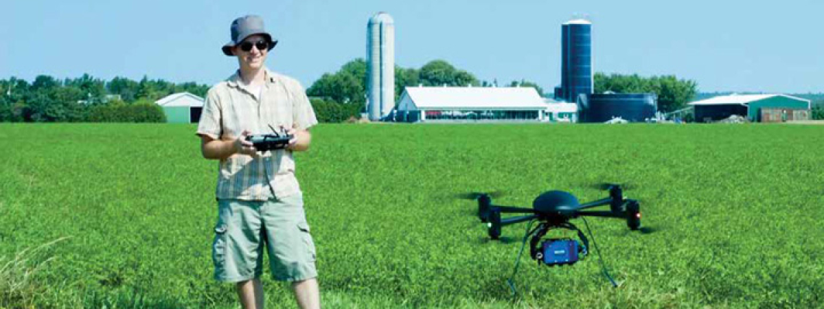
Learn more about Geography Facilities
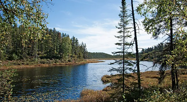
The Nipissing University-Alcan Environmental Research Preserve (NUAERP) consists of over 3 km2 of wilderness land located approximately 45 km east of North Bay. The property was donated to Nipissing University by Alcan Canada in 1999 with the condition that the land remain in a pristine state and that it be used for environmental research.
The property encompasses a range of aquatic, wetland and terrestrial environments including coniferous and deciduous forests representative of the Great Lakes - St. Lawrence Forest Region. The property is bounded by Lake Talon to the southwest and offers shoreline access to a number of smaller lakes. The range of terrestrial and aquatic environments makes the NUAERP a unique and valuable resource for research and teaching activities in the environmental sciences. This undeveloped property is relatively inaccessible and, together with the surrounding crown land, forms a controlled watershed making it an ideal situation for long-term environmental research.
Two skidoos, several boats and a cottage are available at the station.
Location: A134
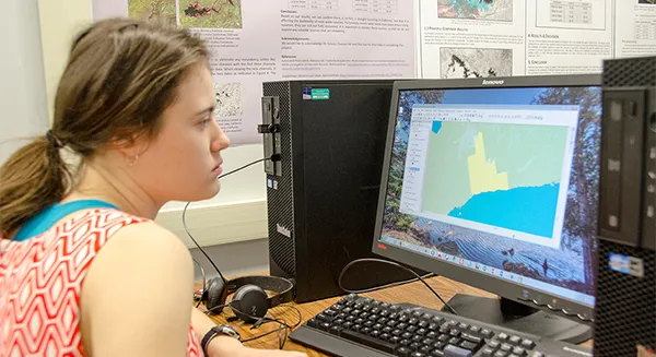
Nipissing University’s Geomatics Lab is equipped with 32 workstations. We support up-to-date industry leading software, e.g. ArcGIS, PCI Geomatica, and PASW. Students working in the Geomatics Lab have the opportunity to gain hands on experience with cutting-edge geomatics technologies and skills necessary in today’s world to work on various types of digital spatial datasets, satellite image, and radar images.
Location: R220
For further information please contact Dr. John Kovacs at:
Phone: 705.474.3450 (ext. 4336/4347) | Email: johnmk@nipissingu.ca
This laboratory is used primarily for the analysis of digital remotely sensed imagery acquired from various satellite platforms including Landsat, SPOT, Radarsat-1 & 2, RapidEye, ENVISAT ASAR, ALOS PALSAR/AVNIR-2, Quickbird WorldView-2 and IKONOS. There are two main PCs which support the most updated versions of PCI Geomatica, ENVI, SAR Polarimetry Workstation and Definiens Developer. An ASD FieldSpec HandHeld Portable Spectroradiometer is available for field data collection.
Biophysical inventorying equipment stored in the lab includes one LAI-2000 Plant Canopy Analyzer, two AccuPAR LP-80 Ceptometers, one LI-3050C Portable Area Meter, Leica DISTO distance meters, Suunto clinometers, DBH tapes, spherical densiometers, BAF2 prisms and two HOBO Micro Station Data Loggers equipped with Photosynthetic Active Radiation sensors.
GPS equipment includes two GPS Pathfinder ProXT receivers, two Trimble 400C Recon Units, one Trimble GeoXT, two Trimble Hurricane Antenna Kits and respective software (Trimble, TerraSync Professional and Pathfinder Office). An older sub-metre differential GPS unit is also held in the lab (2 Ashtech SCA-12 receivers, Husky data collector and 2 external antennas).
The lab is supported by NSERC funding awarded to Dr. John Kovacs
Location: A150
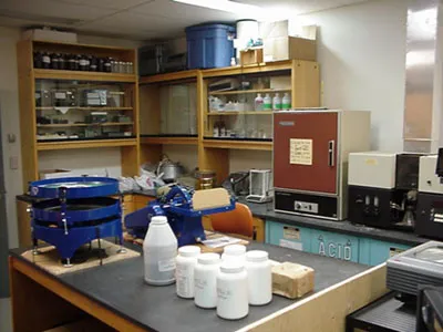
This lab is equipped with two large fume hoods, two convection ovens, a pH station, an oscillating shaker, a centrifuge, and three weighing stations, including top-loading pan balances and precision balances. Workstations include, sinks, electrical and gas outlets, soil sample storage space, and appropriate glassware and smaller equipment for conducting a number of basic soil analyses. A microvideo system with polarizing and binocular microscopes allows for close-up work with soil minerals and soil biology in soil science, and with rocks and minerals in geology. The wet lab also doubles as a geology lab and contains built-in cabinets for storing display samples and class-sets of rock, mineral and fossil samples appropriate for introductory geology.
Location: R219-R222
For further information contact Dr. April James at:
Phone : 705-474-3450 (ext. 4062) | Email : aprilj@nipissingu.ca
This laboratory supports catchment hydrology, lake and weather monitoring, and computer modelling. Field equipment supports the study of hydrologic processes (e.g. streamflow generation) under varying environmental conditions and includes meteorological stations, streamflow monitoring station packages (Isco auto-sampler, raingage, pressure transducer, YSI EC/Temperature probes), groundwater recording (water level meters, capacitance rods) and sampling instrumentation (peristaltic pump, drive-point piezometers), soil moisture monitoring probes and lysimeters, basic hydrometric equipment (pygmy meter outfit with Aquacalc 5000, constant head permeameter, soil auger kit) and a field truck. Field and lab equipment supports use of a range of environmental tracers of water movement and sources within the landscape (temperature, EC, stable isotopes of 18O/16O, and D/H).
Computer stations support data analysis, catchment modelling and spatial analysis (i.e. GIS). A rugged field notebook supports field-based downloading and programming capabilities.
Lake profile monitoring equipment includes two Fondriest CB-405S Data Buoys equipped with thermistor chains, EXO2 Sonde and sensors (EC, T, pH, total algae, turbidity), data loggers, and weather instrumentation (wind speed/direction, RH, rain).
This laboratory analyses water samples (liquid and vapour) for stable isotope ratios of 18O/16O, and D/H using a L2120-i Picarro isotope liquid water analyser. Equipped with a Millipore DI water purification system and cold storage (fridge, freezer), the lab also supports preparation and storage of water samples for additional off-site analyses (e.g. cation, anion, trace element, TOC).
Computer stations support data analysis, catchment modelling and spatial analysis (i.e. GIS). A rugged field notebook supports field-based downloading and programming capabilities.
Campus Trail System